Creating Orienteering O-Maps
Help your local Orienteering Group!


Maps start with surveys of the area. These will have been done already by commercial organisations like the Ordnance Survey- but their data is copyright & commercial, as is anything on Google Maps, MultiMap, etc. Available data includes aerial photography and height data, as well as the maps we use for other purposes. But basically an orienteer has to spend time on-the-ground putting in the kind of accurate detail we expect an O-map to contain.
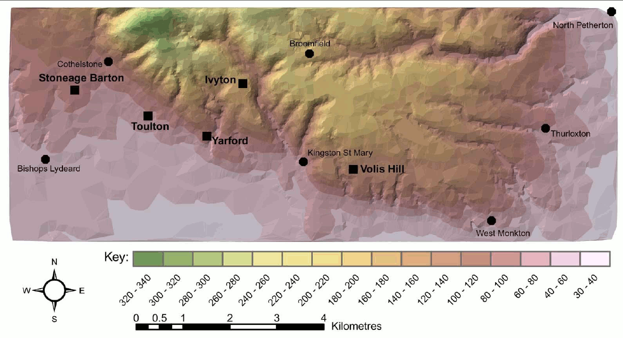
The above image is a contour map of Quantock Orienteers nearest suitable areas. It includes the Fyne Court/ Broomfield/ Kingscliff areas. But orienteering is not just about contoured areas, rather it is more about the navigation opportunities and challenges it offers.
The other problem is of course permissions. An area may look very attractive, but will never be available because the owner is unwilling- or perhaps because there are restrictions for conservation reasons.
Contrary to some opinion, maps don't just appear 'with the stork'! They are the product of enthusiastic team-members with different skills and talents, and need constant up-dating.
Currently ( 2014) QO member Bill Vigar is our Mapper and Jim Mallinson updates the OCAD base maps of 'our' areas. Permissions are handled by Bob Lloyd.