Creating Orienteering O-Maps
Course Setting
Somebody volunteers to plan some courses! (or may have their arm twisted..)
Their first need is a copy of the up-to-date orienteering map. They then need to visit all parts of the area, and, knowing the specification in terms of distance and difficulty of the various levels, they need to decide features/sites they think make good controls. For the 'White' end of things these will be on line feaures like a path, and are needed at every route-decision point. At higher levels they will generally be in harder-to-find spots, but should still be on mapped features. You can use your experience of previous routes, or try to use parts that were not previously used.
The software used this time is PurplePen. It is again free software, and continuously improved. And again a little time spent with someone who is used to it will make a huge difference to how quickly you get going. WARNING Search the web for Purple Pen and you may get some rather pornographic surprises...
You 'create a new event' in Purple Pen, then tell it what OCAD map you are basing everything on.
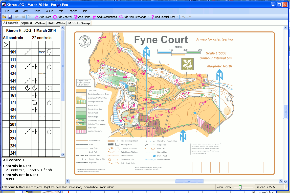
The next stage is to put in the markers for START and FINISH. Then all the check points you've decided on. You can add or subtract points later.
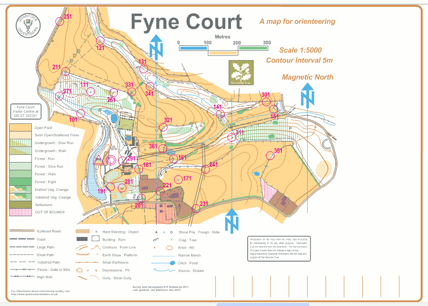
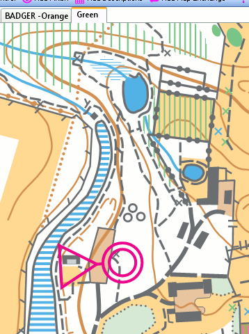
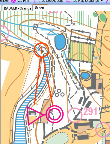
Now you tell PP to create a COURSE, say GREEN. On it will appear the map and start and finish, with ALL the controls visible. You then keep clicking to 'Add a control' and click on the next control you want, and the straight-line connctions are rubber-banded onto the amap. All these points can be removed again, or new controls inserted in the middle of an existing leg.
 -
- 
The distance is continuously displayed as you add controls. If it turns out to be too long or too short, then you edit the route.
NOTE
********* I am paranoid about losing work on a computer, and save regularly, using a different version number each time so I can recover from major errors!!***********
One 'Save' contains ALL the courses, and has to be passed to other users ALONG with the OCAD 'base=map'.
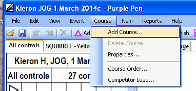
You now tell it to create another course- perhaps YELLOW. Again, only Start and Finish show on it, but as you 'add controls' it rubber-bands and displays the course.
Once you have created all the courses, 'bounce them off' the Club experts. They may well suggest improvements. Don't be offended or disappointed. I learned a lot from such comments! Make the suggested improvements, and any you've thought of yourself.
Although the convention is to show inter-control routes as a single straight line, you can add bends. You can also indicate compulsory crossing points and other features. You can move the control number around the control site so it does not hide features, and is easy to read. And you can add the control descriptions onto the map, in symbol or text form.