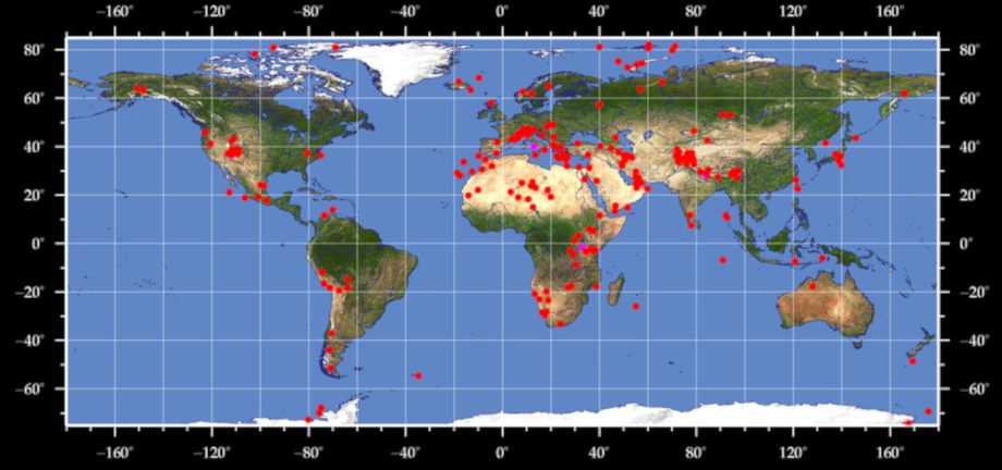
Image Map of Earth and other .....
This was put together to help on a query about selecting different actions when clicking on different parts of an image- like an 'image map' on a website. Not a finished program...
Click on the map and see screen coordinates.
Longitudes on screen go 68 to 227- you need to scale these to -180 to +180
Latitudes 362 to 95 represent -60 to 60 degrees.
    nomainwin

    WindowWidth  =1000
    WindowHeight = 550

    graphicbox #w.gb1, 4,   4, 939, 450
    textbox    #w.tb1, 4, 460, 100,  30

    open "World Map" for window as #w

    #w "trapclose quit"

    loadbmp "scr", "earthMap.bmp"

    #w.gb1 "down ; drawbmp scr 1 1"
    #w.gb1 "flush"
    #w.gb1 "when leftButtonDown tellMe"

    wait

    sub tellMe h$, x, y
        scan
        #w.tb1 str$( MouseX) +"  " +str$( MouseY)
    end sub

    sub quit h$
        close #w
        end
    end sub